Sotal Xil Waterfall, Bonda, Assam
Sotal Xil Waterfall is a wildlife sanctuary located in Bonda, a
locality of Guwahati City in Kamrup Metropolitan District in the Indian State
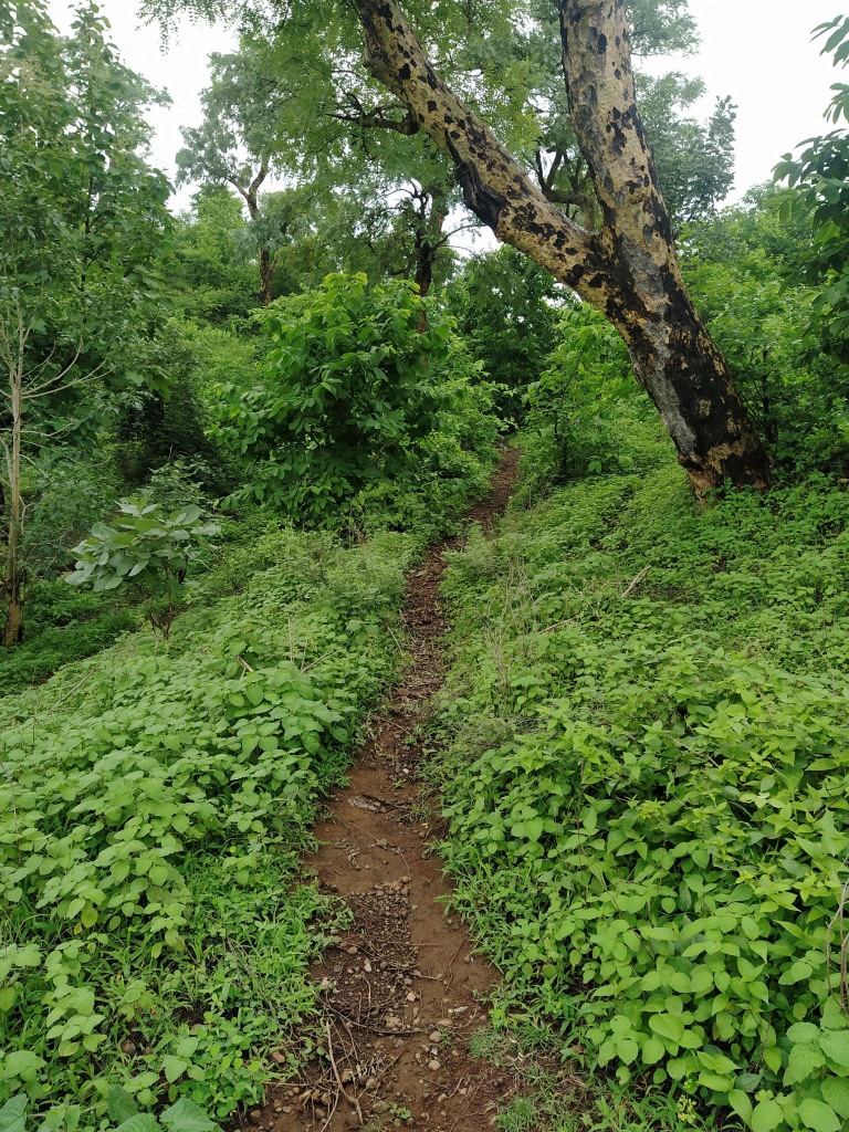
of Assam. It is situated on the eastern fringe of Guwahati City inside the Amchang Wildlife Sanctuary. The waterfall can be reached after a short
trek. The trekking path is full of slippery rocks and should avoid during
monsoons.


The wildlife sanctuary is located at about 3 Kms from Narengi Railway
Station, 12 Kms from Guwahati Railway Station, 21 Kms from Rupnath Brahma
Inter-State Bus Terminal, 32 Kms from Sonapur and 34 Kms from Guwahati Airport.
The waterfall is situated at about 12 Kms to the east of Guwahati Railway
Station. The road from Narengi through Bonda Forest office is the easiest route
to reach this waterfall.


.jpg)


.jpg)


.jpg)


.jpg)


.jpg)


.jpg)


.jpg)
