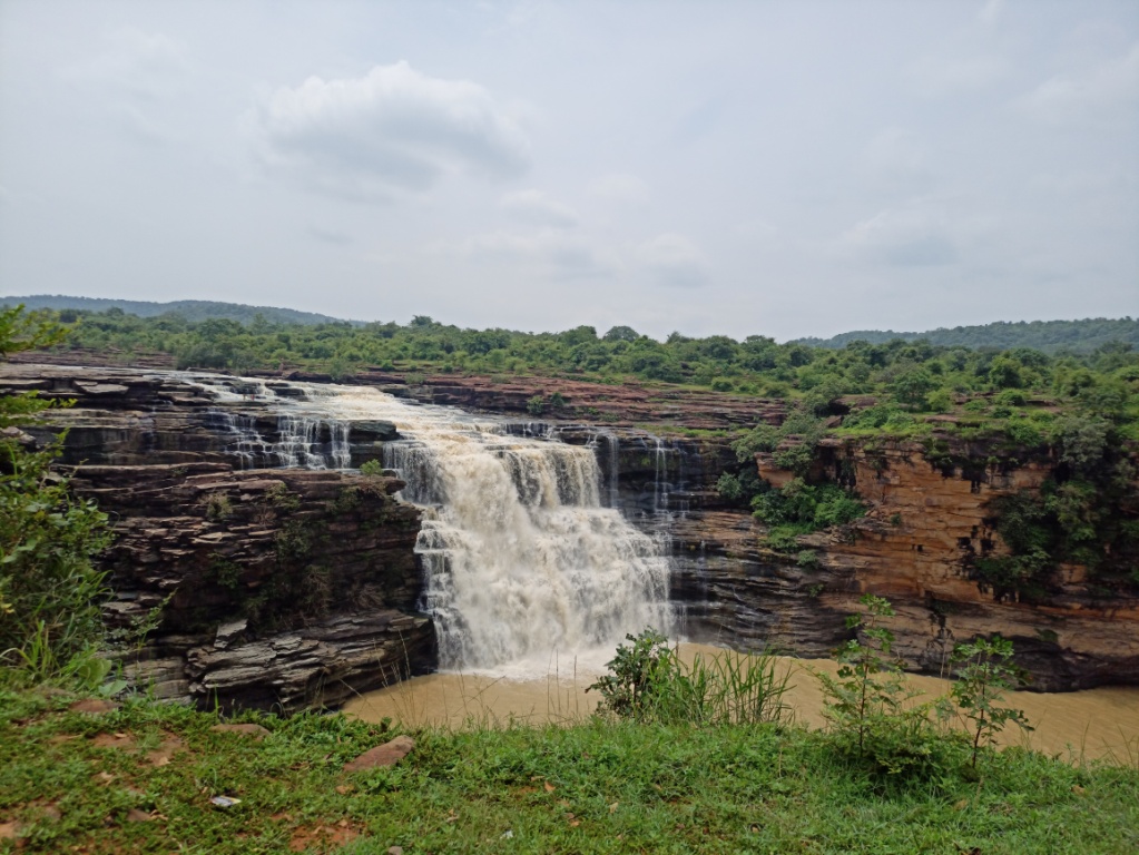
Kakolat Falls, Bihar
Kakolat Falls is a waterfall
located in Kakolat
Village near Thali Bazar in
Nawada District in the Indian state of Bihar. It is situated on the Kakolat hill, located on the
borders of Bihar and Jharkhand. It is a beautiful waterfall and is one of the
most visited places in Bihar. This falls was rediscovered by Mr. Francis
Buchanan in 1811.
Legends
As per legend, a king was cursed
to become a python by a sage Ashtabakra during Treta Yuga. The king in the form
of python lived near the Kakolat Falls. He got rid of the curse by the visit of
Pandavas to this place during their exile. It is said that any person who
bathed in this waterfall would never be reborn as a snake. Hence, several
devotees take bath in the waterfall during Vaisakhi or Chaitra Sankranti. It
is also believed that Lord Rama with his wife Sita and his brother Lakshmana
lived here during their exile.
The Waterfall
The waterfall is situated on the
Kakolat hill and surrounded by dense forest. The waterfall cascades down from a
height of about 160 feet and forms a deep natural pond at the base of the
waterfall. Bathing is allowed in the pond. The bathing area is divided into two
sections for men and women to bath comfortably. It is large enough to
accommodate around 100 men and women at a time. The herbs growing at the
waterfall area are said to contain medicinal qualities. The water is said to be
cool even in summer and is rich with minerals which the locals claim to cure
some ailments.
Connectivity
The falls is located at about 6
Kms from Thali Bazar, 15 Kms from Akbarpur, 24 Kms from Gobindpur, 31 Kms from Nawada,
31 Kms from Nawada Railway Station, 55 Kms from Rajgir, 85 Kms from Gaya, 94
Kms from Gaya Airport, 141 Kms from Patna and 147 Kms from Patna Airport. The
falls is situated at about 6 Kms to the south of Thali Bazar on Akbarpur to Gobindpur
route.
Location


.jpg)
